
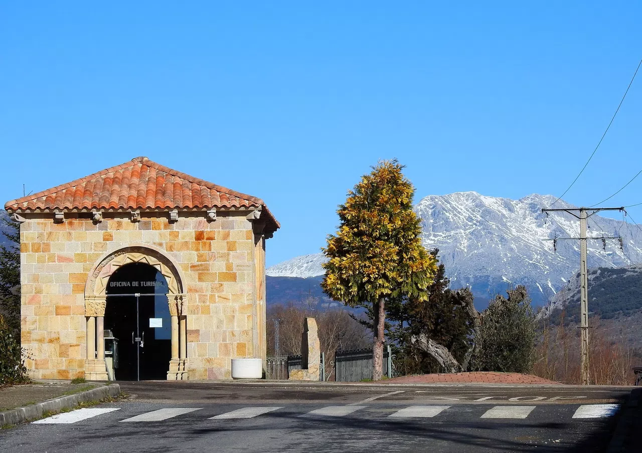
Guardo
Different routes near Guardo
Guardo, located in the Montaña Palentina, offers a variety of hiking trails that allow you to explore its natural and cultural richness.

Little Mouse Route
The Route of Your Dreams El Ratoncito Pérez is a 3.6-kilometer journey through Velilla del Río Carrión, where the Pérez family, including the little mouse, resides. This route is suitable for all audiences and begins at the location of the little mouse's house and his tooth storage. We will visit and explore the paths where he lives, including an anthill, a small river, a village, a walnut storage, a hazelnut storage, his cheese, a photo spot inside a tree, and the site of oaks over a hundred years old.
After completing this first section, we are given a passport that we must visit at each marked location in Velilla, which will be indicated by the maparatón. At each of the eight points, we will meet his sister, his friend, his girlfriend, his brothers, and the captain, where we will see explanatory panels about each of their missions.
The route of your dreams. El Ratoncito Pérez.
Once the route is completed, if we have stamped all the locations, we will receive a small gift for visiting The Route of Your Dreams.
If you are a group of 8-10 people, we recommend this full rental rural accommodation Casa Rural La Majada Palentina.
After completing this first section, we are given a passport that we must visit at each marked location in Velilla, which will be indicated by the maparatón. At each of the eight points, we will meet his sister, his friend, his girlfriend, his brothers, and the captain, where we will see explanatory panels about each of their missions.
The route of your dreams. El Ratoncito Pérez.
Once the route is completed, if we have stamped all the locations, we will receive a small gift for visiting The Route of Your Dreams.
If you are a group of 8-10 people, we recommend this full rental rural accommodation Casa Rural La Majada Palentina.

Curavacas Peak Route
Curavacas Peak is one of the most important peaks in the province, along with Espigüete. Curavacas reaches 2,525 meters. This high mountain route begins in the town of Triollo, near Vidrieros, on a track that will take us to the Pineda Valley. We will continue forward until crossing the Cabriles stream, then proceed through paths and meadows, ascending via rocky tracks. Some difficulty is present, and at times we will need to use our hands until reaching the summit.

Route of the Abandoned Villages
Route located in the surroundings of Velilla del Río Carrión. To start, take the L-201 road towards Valcobero, the starting point of this route.
A 17-kilometer journey to stroll through villages that were once full of life. Today, they are abandoned, showcasing what remains of traditional architecture while appreciating the natural environment where the villages of Valcobero, Valsurbio, and Camporredondo de Alba are situated.
A 17-kilometer journey to stroll through villages that were once full of life. Today, they are abandoned, showcasing what remains of traditional architecture while appreciating the natural environment where the villages of Valcobero, Valsurbio, and Camporredondo de Alba are situated.

Curavacas Well
Pozo Curavacas From Cervera, take the L-210 towards Triollo and continue until you reach Vidrieros. The route begins in the small village of Vidrieros, with the starting point being the Pineda valley, following the course of the Carrión River. We will ascend northwards until we reach the Arauz stream. We continue along a path between the Lezna and Curavacas peaks, towards a clearing where we will see some waterfalls. The trail ascends until reaching the Pozo Curavacas, of glacial origin, a place surrounded by legends. It is a very challenging route, requiring effort, but it is worth it and provides great personal satisfaction to have reached this point. One of the most beautiful sights in the province of Palencia.

Route of San Román de Entrepeñas
This is a beautiful route for people of all ages as its difficulty is very low.
We start from Santibáñez de la Peña (the village, not from the station) and head towards the mountain, following the course of the San Román stream and keeping it to our left.
Approximately one hundred meters in, we reach a two-arched stone bridge where we will cross through one of the arches and pass the stream through the other. This bridge was built to support the tracks of the La Robla train, also known as the Hullero or Bilbao-León, as it is known by all three names.
Continuing along the path, we pass by an old, disused mill, and about five hundred meters later, amidst dense vegetation and undergrowth, we see the marked path that leads us to the Tower of San Román.
The remains of an ancient monastery, almost entirely in ruins, are located three hundred meters towards the mountain. The sound of water accompanies us on this stretch of the path.
If we decide to continue, a path we can discern from the old wheel tracks will lead us to a coal spoil heap. There, it won't be difficult to find fossils and a source of iron emissions nearby. Further ahead, we find a shelter with a fireplace, a fountain, a table with benches, and a loft for spending the night.
At this point, we can decide whether to continue to Las Heras de la Peña, Villanueva de Arriba, or towards Villafría. From there, we can return to the starting point via tracks parallel to the road.
We start from Santibáñez de la Peña (the village, not from the station) and head towards the mountain, following the course of the San Román stream and keeping it to our left.
Approximately one hundred meters in, we reach a two-arched stone bridge where we will cross through one of the arches and pass the stream through the other. This bridge was built to support the tracks of the La Robla train, also known as the Hullero or Bilbao-León, as it is known by all three names.
Continuing along the path, we pass by an old, disused mill, and about five hundred meters later, amidst dense vegetation and undergrowth, we see the marked path that leads us to the Tower of San Román.
The remains of an ancient monastery, almost entirely in ruins, are located three hundred meters towards the mountain. The sound of water accompanies us on this stretch of the path.
If we decide to continue, a path we can discern from the old wheel tracks will lead us to a coal spoil heap. There, it won't be difficult to find fossils and a source of iron emissions nearby. Further ahead, we find a shelter with a fireplace, a fountain, a table with benches, and a loft for spending the night.
At this point, we can decide whether to continue to Las Heras de la Peña, Villanueva de Arriba, or towards Villafría. From there, we can return to the starting point via tracks parallel to the road.

Mushroom Route
From Velilla del Río Carrión, educational and foraging field trips are organized on Saturday mornings. The locations are always nearby in the Montaña Palentina. Additionally, the Asociación Micológica Montaña Palentina offers mycology courses with tastings. Mushrooms and oils, workshops and exhibitions, mycology and plants, truffle cultivation, mycological cooking courses, taxonomy workshops, mycological photography. There are also exhibitions of mushrooms and plants, medicinal properties, as well as guided field trips, conferences, and school courses. Due to their activities, it is advisable to check the dates and outings. Contact 655935028.

Route of the Laguna de las Lomas
Laguna de las Lomas. To take this route, we head along the road that goes to Cardaño de Arriba via the P-210. With a distance of 12 kilometers and a medium difficulty level, our starting point is Cardaño de Arriba towards the glacial-origin Laguna de las Lomas. Throughout the route that runs through the valley, you can keep your eyes on Pico Murcia. From the end of the route, you can enjoy magnificent views.

Mazobre Waterfall Route
Mazobre Waterfall. In the Palencia Mountain along the P-210 road from Velilla del Río Carrión towards Cardaño de Arriba. We set off to begin this hiking route, which is very simple and can be done at any time of the year, covering a distance of about 6 kilometers. The route runs parallel to the Mazobre stream, leaving the Espigüete Peak to one side, and we continue ascending until we reach the waterfall. An initial slope tries to discourage us, but the rest of the route consists of gentle inclines.

Route of the Pinar de Velilla
El Pinar de Velilla del Río Carrión. From Velilla del Río Carrión, an 8-kilometer route that runs through a native pine forest. Centenary wild pines, as well as other varieties such as beeches and holly trees. A walk in this natural setting without taking your eyes off the Espigüete peak.

Route of the Chozos of Villafría
Chozos de Villafría. Just 500 meters from the town of Villafría de la Peña, you will find these marvels. They are the result of the passion of two locals who saw the opportunity to create something different and beautiful for everyone. The chozos, structures made of stone and wood, replicate various types of buildings such as shepherd's huts, tree cabins, forges, and granaries. All of these are of extraordinary beauty, and together with wooden benches, viewpoints, and stone seats, they offer us a unique setting while we enjoy spectacular views of the Sierra del Brezo.

Route of Pico Espigüete
Pico Espigüete. It is one of the highest peaks in the Palencia mountain range, standing at 2450 meters, and the most emblematic of the province. Along with other peaks like Peña Prieta and Curavacas, it is among the tallest. We will start this route from the parking area located between the two Cardaños. The ascent can be made from different sides. The North, East, or the South, which is the easiest. It is considered a high mountain route, with some sections requiring the use of hands due to loose stones on the path. The trail is well marked with cairns. At the summit, we can enjoy splendid views of the Picos de Europa and the significant peaks of this area. On the descent, we can go down the scree slope on the north face. Further along, we will find a path leading to the Mazobre waterfall. This route is recommended to be done in good weather and by experienced mountaineers.

Route of the Fields of La Peña
Ruta Campos de la Peña. Extensive fields located 6 kilometers from Guardo, offering shade, stone tables, and benches with barbecues. Access is on foot for about 200 meters, where vehicles must be left. This area initially allows for a gentle route up to the actual mountain and is accessible by mountain bike. It is mainly used for the "día de las meriendillas" (the day after Easter). Finally, there are small oak and holm oak forests that typically alternate with clearings in these wooded areas.

Route of San Pedro de Guantes
San Pedro de Guantes. It is located in two different municipal areas. It corresponds in two parts to the town of Villanueva de Arriba and one part to Villaoliva de la Peña. Near Santibáñez de la Peña, it is an extensive moorland with pine forests and forest trails. It allows us to create a custom walking route, as the configuration of these trails lets us choose routes of greater or lesser length at will. Finally, it can be done on foot, by bicycle, by motorcycle... Low difficulty. Situated between the mountain and the moorland.
Villanueva de Arriba 
Route to Peña Redonda
Peña Redonda. Located in the heart of the Sierra del Brezo, this peak reaches an altitude of 1,995 meters. The ascent will be made from the southern slope. We will start from the town of Traspeña de la Peña. The route will take us out of the village along a track until we reach the Santa Eulalia ravine, which is the starting point of this ascent. We will tread carefully, leaving the Burrian peak with its 1,799 meters to one side. At the summit of the peña, there is a 14-meter metal cross placed in 1984, from which there are magnificent views of the Palencia mountains. It is important to note that every year, on the first Sunday of August, a pilgrimage is held in honor of the Virgin of the Summits, attended by all the surrounding villages.
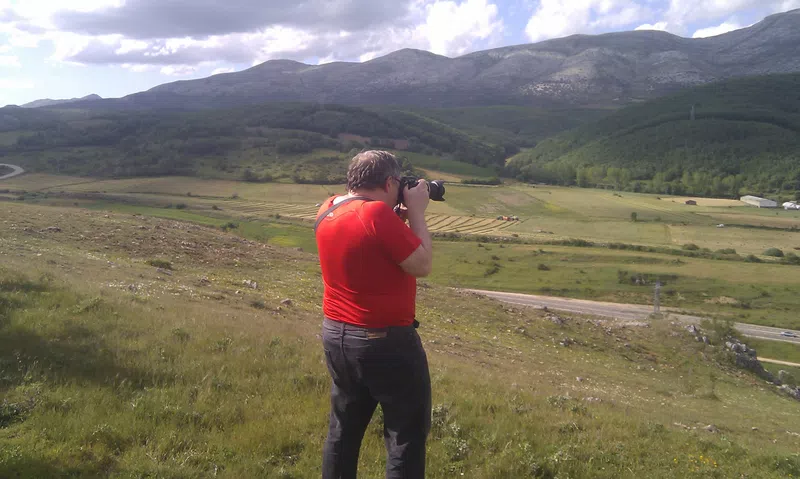
Other routes in Guardo
- Path of the Maidens of Hoyal: Also known as the "Path of Love," this approximately 7.8 km route leads to the Heart Lagoon, a unique spot shaped like a heart.
- Witches' Trail from Cansoles to the Cave of Erro: A 10 km journey starting from San Pedro that allows you to learn about the legend of the witches of Cansoles and the covens in the Cave of Erro.
- San Juan the Green Trail through Aunt Corita's Cave: With a 7 km route, it begins in Intorcisa and delves into areas linked to the legend of San Juan the Green.
- Wolves' Path to Judas' Balcony via the Fountain of Health: This 13 km journey traverses places associated with the legend of the Fountain of Health.
- Arduina's Path, the Old Bear Woman: A 14 km route that crosses spectacular natural landscapes.
- Trail to the Valley of the Witches: With a length of 5 km, this trail allows you to enter the mystical Valley of the Witches.
- Hiking Route San Quirce Valley-Corcos Valley: This route starts from the Plaza de la Constitución in Guardo and covers approximately 12 km through the valleys of San Quirce and Corcos, offering panoramic views of the Sierra de la Peña and other emblematic landscapes.
- Circular Route Around Guardo: A route that passes through paths, springs, pine forests, and oak groves, passing through nearby towns such as Velilla del Río Carrión, Muñeca, and Intorcisa.
- Guardo has recently inaugurated new MTB circuits in the Valdecastro Valley, a result of collaboration between the Town Hall and the Tamaria Monte Vindio Association. These circuits aim to promote mountain hiking and active tourism in the region.
Before embarking on any route, it is recommended to check the weather conditions and ensure you are well-equipped to guarantee a safe and pleasant experience.